您的位置:极速下载站 → 电脑软件 → 图形图像 → 图像捕捉 → Eye4Software Hydromagic
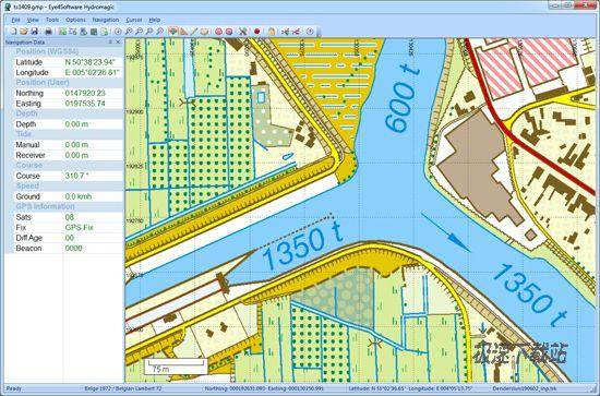
Eye4Software Hydromagic是水文测量软件工具,它可以用来使用GPS和测深仪的地图区域。使用该软件的导入,查看和编辑您的地图,显示你的位置,并记录深度。该软件将与几乎所有的GPS和测深仪,并可以在任何台式电脑,笔记本电脑或上网本运行Windows XP或更高的计算机使用。

Eye4Software Hydromagic is a hydrographic survey software tool, which can be used to map areas using a GPS and echosounder. Use the software to import, view and edit your maps, display your position and to record depths. The software will work with almost any GPS and echosounder, and can be used on any desktop, laptop or netbook computer running Windows XP or higher.
官方网站:http://www.eye4software.com/products/hydromagic
相关搜索:GPS 卫星地图 Eye4Software 卫星定位
相关下载
相关文章
发表评论
网页评论
- 共 0 条评论,平均 0 分 我来说两句
- 人气英雄联盟下载官方下载
- 《英雄联盟》(简称LOL)是由美国拳头游戏(Riot Games)开发、中国大陆地区腾讯游戏代理运营的英雄对战MOBA... [立即下载]
- 好评百度拼音输入法 5.5.5025.0 官方版
- 百度输入法是百度推出的一款电脑输入软件。凭借百度搜索和云端技术的支持,百度输入法很快就成为地电脑用户... [立即下载]
更多图像捕捉排行

